Researched and written 9 October 2026. Sources are listed at the end.
What it is
The ring road, officially the A4053, is a dual carriageway two and a quarter miles long that loops round the city centre and roughly follows the line of the old city walls. Its junctions have all been numbered since the 1980s, so directions in Coventry are usually given by junction number.
It has a reputation for being hard to navigate. Knowing the number of the junction you need before you join takes most of the stress out of it.
How it was built
Construction began in the late 1950s as part of the post-war rebuilding of the city. The first stretch opened in 1962 and the loop was finished in 1974. It cut through older streets as it went: Spon Street was split in two and only one street of Victorian terraces, Starley Road, survives inside the ring after a residents' campaign saved it.
Useful junctions
Coventry station sits just outside the ring road, about 250 yards south of junction 6. The Friargate business district is beside the same junction. The canal basin lies just outside the ring on the north side. Far Gosford Street and FarGo Village are just beyond it too.
Parking inside the ring
The council's long-stay car parks charge around the clock. Gosford Street and Silver Street, for example, charged from £2.40 for an hour to £11 for 24 hours on prices from 7 April 2025. Blue Badge holders paid nothing at the car parks we checked.
Staying outside it
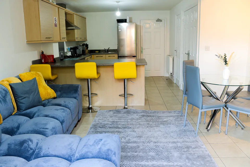
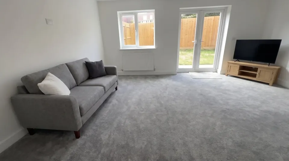
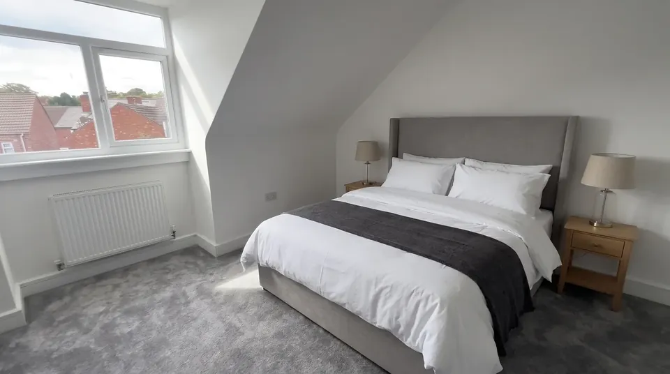
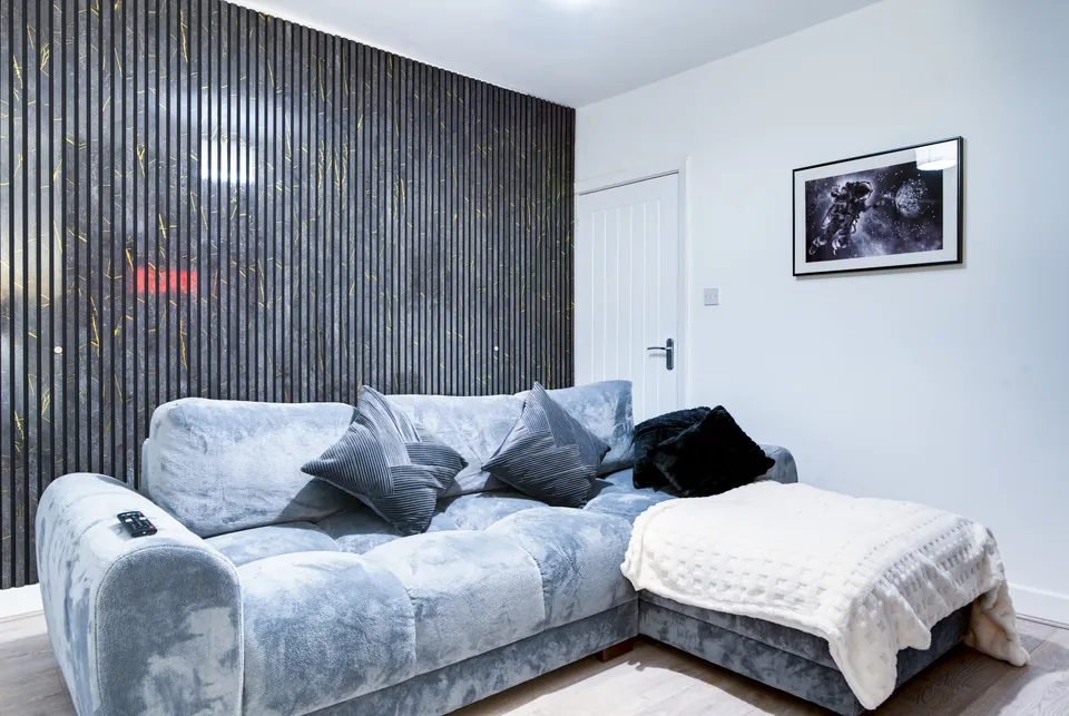
All four houses are outside the ring road on the east side of the city, in Stoke. Stoke Lodge and Stoke House are about 2 miles by road from the city centre, Humber Hub about 2 miles and Sullivan Heights about 3 miles, each with free parking.
Sources: Wikipedia: Coventry; Wikipedia: Coventry railway station; Wikipedia: Spon Street; Wikipedia: Far Gosford Street; coventry.gov.uk/directory-record/49437/gosford-street-car-park. Distances by road from each house, worked out on OpenStreetMap.